- +256 414 231 900
- P. O. Box 25497, Kampala, Uganda
- [email protected]



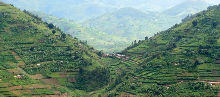
Uganda is located in southeast Africa between 1º S and 4º N latitude, and between 30º E and 35º E longitude. Its geography is very diverse consisting of volcanic hills, mountains, and lakes. The country sits at an average of 900 meters above sea level. Both the eastern and western borders of Uganda have mountains. The Ruwenzori mountain range contains the highest peak in Uganda, which is named Alexandra and measures 5,094 meters.
Lakes and rivers
Much of the south of the country is heavily influenced by one of the world’s biggest lakes, Lake Victoria, which contains many islands. The most important cities are located in the south, near this lake, including the capital Kampala and the nearby city of Entebbe. Lake Kyoga is in the centre of the country and is surrounded by extensive marshy areas.
Although landlocked, Uganda contains many large lakes. Besides Lakes Victoria and Kyoga, there are Lake Albert, Lake Edward, and the smaller Lake George. It lies almost completely within the Nile basin.
Uganda’s population grew from 9.5 million people in 1969 to 34.9 million in 2014. With respect to the last inter-censal period (September 2002), the population increased by 10.6 million people in the past 12 years. Uganda’s median age of 15 years is the lowest in the world. Uganda has the fifth highest total fertility rate in the world, at 5.97 children born per woman (2014 estimates).
There were about 80,000 Indians in Uganda before Idi Amin required the expulsion of Ugandan-Asians (mostly of Indian origin) in 1972, which reduced the population to as low as 7,000. Many Indians, however, returned to Uganda after Amin’s ouster in 1979. Around 90 percent of Ugandan Indians reside in Kampala.
According to the UNHCR, Uganda hosts over 1.4 million refugees on its soil as of August 2021. Most come from neighbouring countries in the African Great Lakes region, particularly South Sudan (68.0 percent) and Democratic Republic of the Congo (24.6%). In August 2021, Uganda received some refugees from Afghanistan following the Taliban takeover.
As of 1 July 2020, Uganda is divided into 135 districts plus the capital city of Kampala, which are grouped into four administrative regions.
Since 2005, the Ugandan government has been in the process of dividing districts into smaller units. This decentralization is intended to prevent resources from being distributed primarily to chief towns and leaving the remainder of each district neglected.
Each district is further divided into counties and municipalities, and each county is further divided into sub-counties. The head elected official in a district is the chairperson of the Local Council V.
In May 2019, the Cabinet of Uganda approved the creation of 15 cities, in a phased manner, over the course of the next one to three years.
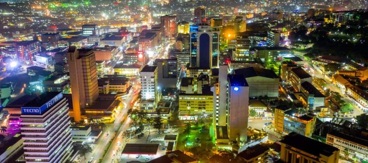
Kampala is the capital and largest city of Uganda. The city proper has a population of 1,680,000 and is divided into the five political divisions of Kampala Central Division, Kawempe Division, Makindye Division, Nakawa Division, and Rubaga Division.
Kampala’s metropolitan area consists of the city proper and the neighboring Wakiso District, Mukono District, Mpigi District, Buikwe District and Luweero District. It has a rapidly growing population that is estimated at 6,709,900 people in 2019 by the Uganda Bureau of Statistics in an area of 8,451.9 km2 (3,263.3 square miles).